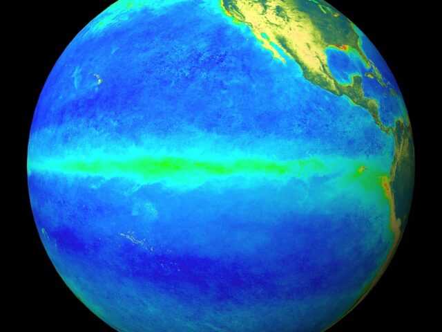
MELBOURNE, Australia – El Niño remains near its peak, with the tropical Pacific Ocean and overlying atmosphere consistent with a strong event. Models suggest the event will start to decline in 2016, but a return to ENSO-neutral is not likely until at least autumn. Sea surface temperatures and cloud patterns near the Date Line remain well in excess of El Niño thresholds.
The Southern Oscillation Index (SOI) has returned to El Niño levels following a brief period of neutral values.
Below-surface ocean temperatures in the eastern tropical Pacific remain significantly warmer than average, but clearly some cooling has occurred in the past fortnight. Changes in the sub-surface are an important indicator, as the sub-surface plays a significant role in maintaining the strength and longevity of El Niño events.
El Niño’s influence on Australian rainfall is variable at this time of year, with both wetter and drier summers observed in past events depending on how quickly the event breaks down.
Both daytime and overnight temperatures tend to be warmer than average during an El Niño summer. For more information, see the official rainfall and temperature outlook.
The Indian Ocean Dipole has little influence on Australian climate between December and April.
However, Indian Ocean sea surface temperatures remain very much warmer than average across the majority of the basin. This basin-wide warmth may provide extra moisture for rain systems across Australia.


