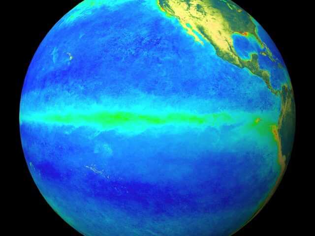
ENSO indicators in the Pacific Ocean remain neutral, while sea surface temperatures in the Indian Ocean show a strong negative Indian Ocean Dipole (IOD). Latest values of the IOD index show the dipole has strengthened in recent weeks. Climate models indicate the negative IOD will persist through to the end of spring.
A negative IOD typically brings above average rainfall to southern Australia during winter-spring, with cooler daytime temperatures across southern Australia, and warmer daytime and night-time temperatures in northern Australia.
In the tropical Pacific Ocean, recent model outlooks indicate a reduced chance of La Niña in 2016.
Most climate models indicate the central Pacific Ocean will continue to cool, but only two of eight models show La Niña values through the southern spring. Recent observations of cloudiness, trade winds and the Southern Oscillation Index (SOI) show little change from normal patterns.
These observations, combined with current climate model outlooks, means the Bureau’s ENSO Outlook remains at La Niña WATCH. This means the likelihood of La Niña forming in 2016 remains a 50% chance.
Typically during La Niña, winter-spring rainfall is above average over northern, central and eastern Australia. If La Niña does develop, climate models indicate it will not be as strong as the most recent La Niña of 2010–12, which was one of the strongest La Niña on record


