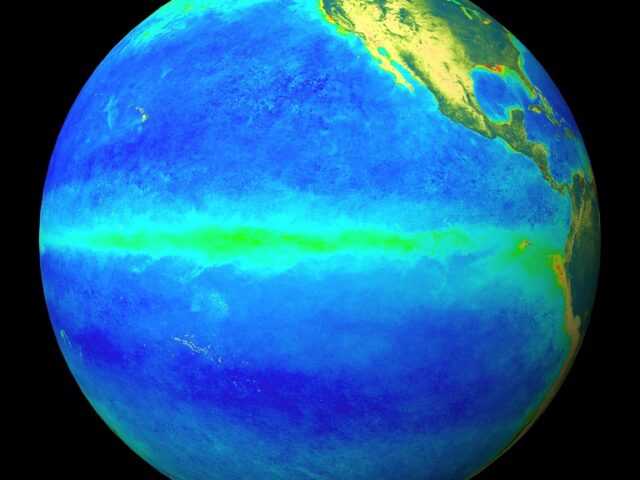
MELBOURNE, Australia – The El Niño–Southern Oscillation (ENSO) remains neutral. However the Australian Government Bureau of Meteorology (BOM) ENSO Outlook is currently at El Niño WATCH, meaning there is around a 50% chance—twice the normal likelihood—of El Niño developing in 2017.
Tropical Pacific sea surface temperatures (SSTs) have warmed since the start of the year. SSTs in the central tropical Pacific are now 0.5 °C warmer than average, still below the +0.8 °C threshold for El Niño levels.
Atmospheric indicators of ENSO remain firmly neutral, although the Southern Oscillation Index (SOI) has returned to negative values over the past fortnight.
International climate models suggest the tropical Pacific Ocean is likely to continue warming in the coming months, though in recent weeks some models have reduced the expected extent of warming.
Five of eight models indicate that sea surface temperatures will exceed El Niño thresholds during the second half of 2017; a reduction of two models since the last Wrap-Up release. It should be noted that models have lower accuracy at this time of year.
El Niño is often, but not always, associated with below average winter–spring rainfall over eastern Australia. Of the 27 El Niño events since 1900, 18 resulted in widespread dry conditions for parts of Australia.
The Indian Ocean Dipole (IOD) is currently neutral. Four out of six climate models suggest a positive IOD is likely during winter. When a positive IOD coincides with El Niño, the typical El Niño dry signal expands, and generally stretches further west over eastern and central Australia.


