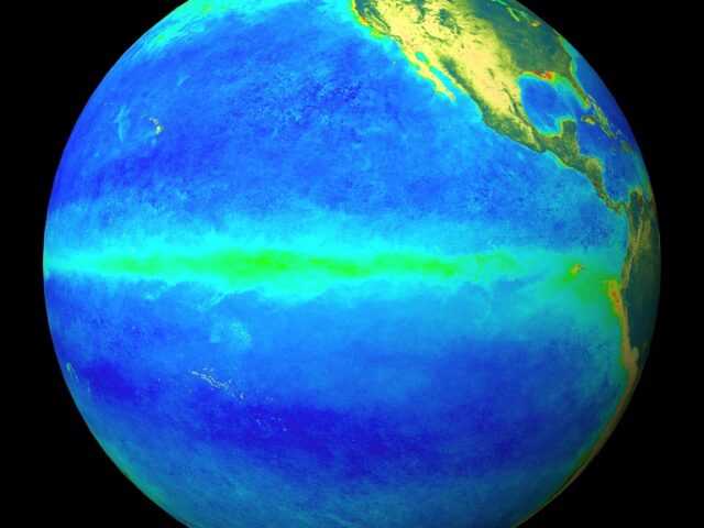
The El Niño–Southern Oscillation (ENSO) remains neutral, despite temperatures in the Pacific ocean being at El Niño levels, according to the Australian Government Bureau of Meteorology. The Bureau’s ENSO Outlook remains at El Niño ALERT.
The term El Niño–Southern Oscillation refers to the interaction between the tropical Pacific Ocean (“El Niño”) and its overlying atmosphere (“Southern Oscillation”), which together produce a global influence on weather and climate.
While tropical Pacific sea surface temperatures (SSTs) are currently at El Niño levels, atmospheric indicators—such as cloudiness, pressure patterns, the Southern Oscillation Index (SOI) and trade winds—have generally remained neutral.
This means that the ocean and atmosphere are not reinforcing each other, known as coupling. It is this coupling that defines and sustains an ENSO event, and results in widespread shifts in global weather and climate.
The natural seasonal cycle of tropical Pacific SSTs and cloud means that the likelihood of an ENSO event developing during mid-summer is lower than at other times of year. This is because the difference in SSTs across the Pacific Basin eases towards a minimum in late summer to autumn. Late developing El Niño events do occur, such as in 2006–07 and 2009–10, although there is no record of one starting in January.
Most models indicate SSTs in the tropical Pacific Ocean are likely to remain near or above El Niño levels until at least the middle of 2019. However, models typically have less skill when forecasting through autumn. If SSTs did maintain their current anomalous warmth through summer, it would increase the chance of El Niño emerging in 2019.
The positive Indian Ocean Dipole (IOD) event has ended, and neutral IOD conditions prevail. The IOD typically has little influence on Australian climate from December to April.


