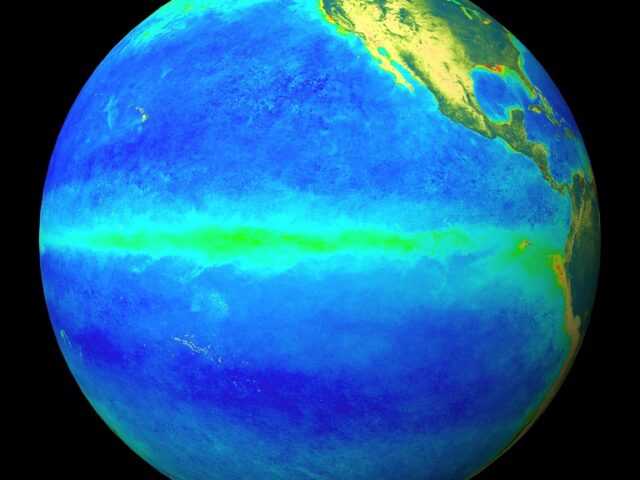
MELBOURNE, Australia — Tropical Pacific Ocean surface waters have returned to ENSO-neutral temperatures after exceeding El Niño levels in November and early December. The ENSO Outlook of the Australian Government Bureaus of Meteorology remains at El Niño ALERT.
While waters at and beneath the surface of the tropical Pacific have been warmer than average since mid-2018, atmospheric indicators of ENSO such as cloudiness, trade winds and the Southern Oscillation Index (SOI) have not responded and have mostly remained neutral.
For an El Niño to become established, the atmosphere needs to reinforce and respond to the warmer waters at the ocean’s surface. This reinforcement is what allows the widespread global effects on weather and climate to occur.
The recent cooling of tropical Pacific waters may partly reflect the movement of the Madden–Julian Oscillation (MJO), which has recently encouraged stronger trade winds over the tropical Pacific. However, the MJO is moving east, weakening the trade winds once again, which may allow the ocean surface to warm again.
Most models indicate sea surface temperatures in the tropical Pacific are likely to remain near El Niño levels at least until early autumn 2019. Models typically have less skill when forecasting through autumn compared with other seasons. If sea surface temperatures do maintain their anomalous warmth through summer, it increases the chance of El Niño emerging in 2019.
The Indian Ocean Dipole (IOD) is neutral. The IOD typically has little influence on Australian climate from December to April.
Please note: due to the US Government shutdown, some of our usual maps are currently unavailable.


