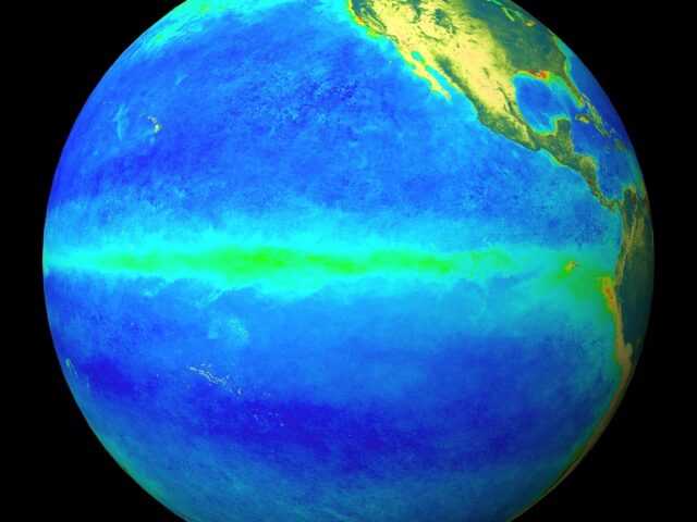
MELBOURNE, Australia – The 2020–21 La Niña is likely to have peaked with respect to atmospheric and oceanic patterns in the tropical Pacific, reports the Bureau of Meteorology of the Australian Government (BOM). However impacts associated with La Niña, such as above average rainfall in eastern and northern Australia, are expected to persist into early autumn, with climate outlooks indicating above average rainfall is likely for parts of these regions, particularly over northern Queensland.
Over the past fortnight the sea surface temperatures across Pacific Ocean basin have warmed by around 0.2 °C.
The 90-day Southern Oscillation Index (SOI) has decreased slightly but continues to remain well above the La Niña threshold of +7, and trade winds have returned to near-average strength in the central tropical Pacific.
Model outlooks indicate a return to neutral conditions (neither El Niño nor La Niña) during the late southern summer or early autumn.
The Southern Annular Mode (SAM) is positive, but is expected to tend towards neutral values over the next fortnight.
The Madden–Julian Oscillation (MJO) is currently located over the western Pacific Ocean. Its influence on Australia is expected to weaken during the next fortnight as it moves east into the central Pacific. However, active tropical weather may persist across northern Australia due to other regional weather factors.
Climate change is also influencing the Australian climate. Australia’s climate has warmed by 1.44 ± 0.24 °C over the period 1910–2019, while recent decades have seen increased rainfall across northern Australia during the northern wet season (October–April), with more high-intensity, short-duration rainfall events.


