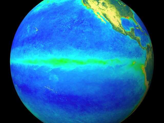
COLLEGE PARK, Maryland, U.S. – During June, El Niño was reflected in the continued presence of above average sea surface temperatures (SSTs) across the central equatorial Pacific Ocean, reports the U.S. National Oceanic and Atmospheric Administration (NOAA) in its latest update. However, SST anomalies across most of the eastern Pacific decreased during the month.
The latest weekly ENSO indices were +0.9°C in Niño-4 and +0.6°C in Niño-3.4, with smaller departures in the Niño-3 and Niño-1+2 regions. Upper-ocean subsurface temperatures (averaged across 180°-100°W) were above average at the beginning of June, but returned to near average by end of the month, as anomalously cool waters expanded at depth.
Weakly suppressed tropical convection continued over Indonesia, while weakly enhanced convection persisted near the Date Line. Low-level wind anomalies were near average over the tropical Pacific Ocean, and upper-level wind anomalies were westerly over the far eastern Pacific.
The traditional and equatorial Southern Oscillation Indices were slightly negative. Overall, oceanic and atmospheric conditions were consistent with a weakening El Niño.
The latest plume of North American Multi-model Ensemble forecasts of the Niño-3.4 index shows a rapid transition toward ENSO-neutral by the late Northern Hemisphere summer, remaining neutral through fall and winter.
Due to this model guidance and recent observations, the forecast consensus also favors a transition to ENSO-neutral during the next few months.
In summary, a transition from El Niño to ENSO-neutral is expected in the next month or two, with ENSO-neutral most likely to continue through Northern Hemisphere fall and winter (click CPC/IRI consensus forecast for the chance of each outcome for each 3-month period).


