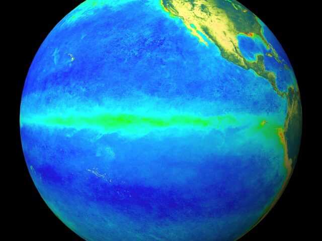
MELBOURNE, Australia – The El Niño–Southern Oscillation (ENSO) is currently neutral says the Bureau of Meteorology of the Australian Government. However, recent model outlooks and cooling in the tropical Pacific Ocean mean the Bureau’s ENSO Outlook status is at La Niña WATCH. In the past when La Niña WATCH has been reached, a La Niña event has subsequently developed around 50% of the time; this is approximately double the normal likelihood. La Niña events increase the chances of above-average rainfall for northern and eastern Australia during spring and summer.
Most oceanic and atmospheric indicators of ENSO remain within the ENSO-neutral range. However, sea surface temperatures in the central tropical Pacific Ocean have cooled over the past two to three months, supported by cooler than average waters beneath the surface. Climate models continue this cooling trend over the coming months, with three of the seven models surveyed by the Bureau meeting La Niña criteria, while two additional models briefly touch La Niña thresholds.
The negative Indian Ocean Dipole (IOD) event has weakened, with latest IOD values falling shy of negative thresholds. Should these values persist, it is likely that the negative IOD is near its end. However, the pattern of sea surface temperatures in the Indian Ocean remains likely to influence Australian rainfall over the coming months. A negative IOD increases the chances of above-average spring rainfall for much of southern and eastern Australia.
The Madden–Julian Oscillation (MJO) is currently weak, located over the western Maritime Continent, north of Australia. Most models forecast movement of the MJO towards the eastern Maritime Continent in the coming fortnight, but there is some disagreement between models as to the strength of the MJO during that period. Some models suggest a moderate strengthening while others maintain a weak MJO. If the MJO strengthens over the Maritime Continent region, it would encourage enhanced rainfall over the tropics to the north of Australia.
The Southern Annular Mode (SAM) index has mostly been positive for the past five weeks. It is forecast to remain positive for October to December. This forecast is supported by a combination of a strengthened polar vortex over Antarctica, as well as the likelihood of La Niña development. A positive SAM during spring typically brings wetter weather to eastern parts of Australia, but may be drier for western Tasmania.
Climate change continues to influence Australian and global climate. Australia’s climate has warmed by 1.44 ± 0.24 °C over 1910–2019, while southern Australia has seen a reduction of 10–20% in cool season (April–October) rainfall in recent decades. Rainfall across northern Australia during its wet season (October–April) has increased since the late 1990s with a greater proportion of high intensity short duration rainfall events.


