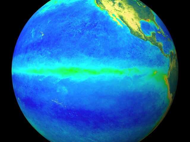
MELBOURNE, Australia – Both the El Niño–Southern Oscillation (ENSO) and Indian Ocean Dipole (IOD) remain neutral, according to the first issue of the new Climate Driver Update from the Bureau of Meteorology (BOM) of the Australian Government. However, cooling in the tropical Pacific Ocean has continued, and the majority of models anticipate this cooling will be close to the threshold for La Niña by early spring. Consequently, the Bureau’s ENSO Outlook has shifted to La Niña WATCH.
La Niña WATCH means the chance of La Niña forming in 2020 is around 50%—roughly double the average likelihood. Three models indicate a La Niña could form by late winter, with another two models suggesting thresholds could be approached during early spring.
Key indicators of ENSO, such as the Southern Oscillation Index (SOI), trade winds, cloudiness near the Date Line, and sea surface temperatures in the tropical Pacific Ocean, are consistent with a neutral ENSO state. However, sea surface temperatures across the tropical Pacific Ocean have cooled over the past two months, and are supported by temperatures below the surface of the tropical Pacific Ocean, which are also cooler than average.
Despite recent cooling in the eastern Indian Ocean, three of six models continue to suggest the possibility of a negative IOD developing during winter or early spring. Most models show a broad spread of likely scenarios between the neutral and negative IOD range.
The Southern Annular Mode (SAM) is currently positive and is forecast to remain positive for the remainder of June and early July. During winter, a positive SAM typically means less rainfall for southwest Western Australia, southern Victoria, and Tasmania.
The Madden–Julian Oscillation (MJO) is currently weak, and is not expected to influence Australia’s climate in the coming fortnight.


