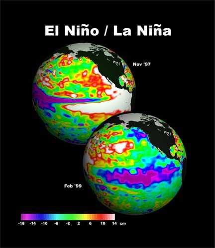
Scientists at the Climate Prediction Center announced Thursday morning that Pacific Ocean temperatures are warmer than normal, continuing to signal a developing El Niño pattern.
However, water temperatures and atmospheric conditions have not yet reached the threshold that would classify a fully developed El Niño.
It remains likely an El Niño pattern will still develop later this summer or Autumn.
The U.S. weather forecaster maintained its outlook for the El Nino weather phenomenon in its monthly update on Thursday, pegging the chances of the weather pattern striking during the Northern Hemisphere summer at 70 percent.
The Climate Prediction Center, an agency of the US National Weather Service, said there was close to an 80 percent chance of El Niño, during the autumn and early winter.
The agency downplayed the likelihood of a strong El Niño, predicting it will peak at “weak-to-moderate” strength during the late fall and early winter and last until spring of 2015.
“Over the last month, no significant change was evident in the model forecasts of ENSO, with the majority of models indicating El Niño onset within June-August and continuing into early 2015,” says the Center in its report.
“At this time, the forecasters anticipate El Niño will peak at weak-to-moderate strength during the late fall and early winter. The chance of El Niño is about 70% during the Northern Hemisphere summer and is close to 80% during the fall and early winter.”


