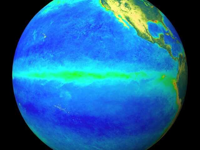
La Niña is favored to develop during the Northern Hemisphere summer 2016, with about a 75% chance of La Nina during the fall and winter 2016-17, according to the U.S. National Oceanic and Atmospheric Administration.
During the past month, sea surface temperature (SST) anomalies decreased across the equatorial Pacific Ocean, with near-to-below average SSTs recently emerging in the eastern Pacific.
The latest Niño region indices also reflect this decline, with the steepest decreases occurring in the Niño-3 and Niño-1+2 regions.
The surface cooling was largely driven by the expansion of below-average subsurface temperatures, which extended to the surface in the eastern Pacific.
While oceanic anomalies are clearly trending toward ENSO-neutral, many atmospheric anomalies were still consistent with El Niño, such as the negative equatorial and traditional Southern Oscillation indices.
Upper-level easterly winds persisted over the central and eastern Pacific, while low-level winds were near average. Enhanced convection continued over the central tropical Pacific and was suppressed north of Indonesia. Collectively, these anomalies reflect a weakening El Niño and a trend toward ENSO-neutral conditons.
Most models predict the end of El Niño and a brief period of ENSO-neutral by early Northern Hemisphere summer.
The model consensus then calls for increasingly negative SST anomalies in the Niño 3.4 region as the summer and fall progress.
However, there is clear uncertainty over the timing and intensity of a potential La Niña (3-month Niño-3.4 SST less than or equal to -0.5°C).
The forecaster consensus favors La Niña onset during the summer, mainly weighting the dynamical models (such as NCEP CFSv2) and observed trends toward cooler-than-average conditions.
Overall, La Niña is favored to develop during the Northern Hemisphere summer 2016, with about a 75% chance of La Nina during the fall and winter 2016-17.


