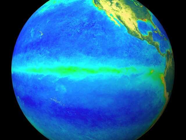
MELBOURNE, Australia – The Bureau’s El Niño Alert continues, with El Niño development likely during spring. When El Niño Alert criteria have been met in the past, an El Niño event has developed around 70% of the time. Sea surface temperatures (SSTs) in the tropical Pacific are exceeding El Niño thresholds and have continued to warm slightly over the last fortnight.
Climate models indicate further warming of the central to eastern Pacific is likely, with SSTs remaining above El Niño thresholds until at least early 2024.
The 90-day Southern Oscillation Index (SOI) is presently just below El Niño thresholds, while trade winds and Pacific cloudiness have not yet demonstrated sustained El Niño patterns. Overall, atmospheric indicators suggest the Pacific Ocean and atmosphere are not yet consistently reinforcing each other, as occurs during El Niño events. El Niño typically suppresses spring rainfall in eastern Australia.
The latest weekly Indian Ocean Dipole (IOD) index is +1.05 °C. This is the second week it has been above the positive IOD threshold of +0.40 °C. However, before an IOD event is declared, several more weeks of the IOD index above the positive IOD threshold are required. Climate models suggest a positive IOD is likely for spring. A positive IOD typically decreases spring rainfall for central and south-east Australia and can increase the drying influence of El Niño.
The Madden–Julian Oscillation (MJO) is currently weak or indiscernible. Most surveyed models forecast a strengthening pulse to move over the Maritime Continent or Western Pacific in the coming days. If this pulse moves into the Western Pacific and remains relatively strong it may assist El Niño development by weakening trade winds.
The Southern Annular Mode (SAM) index is currently at neutral values and is expected to become slightly negative then return to neutral during September. A negative SAM is associated with increased rainfall over south-west Western Australia and western Tasmania during spring, while a neutral SAM is associated with typical climate conditions for Australia.
The long-range forecast for Australia indicates warmer and drier conditions are likely across large parts of Australia from September to November. The Bureau’s climate model takes into account all influences from the oceans and atmosphere when generating its long-range forecasts.


