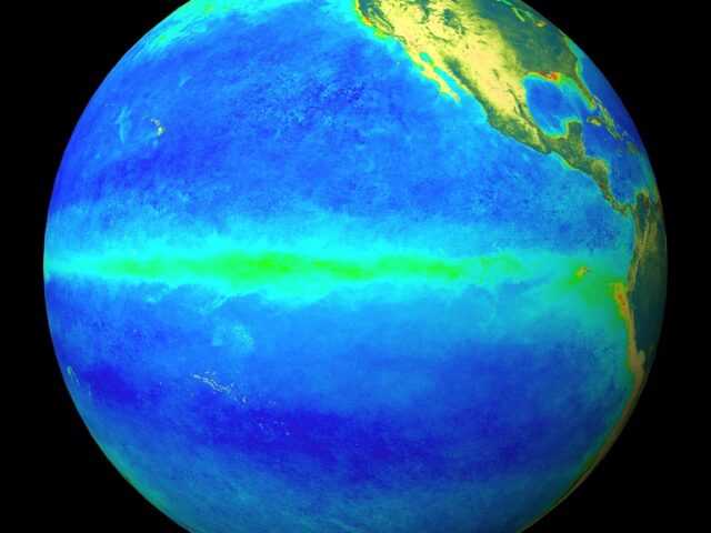
MELBOURNE, Australia – The Bom’s ENSO Outlook remains at El Niño Alert. This means the chance of El Niño developing in 2019 is approximately 70%; around triple the normal likelihood.
Tropical Pacific sea surface temperatures have remained close to El Niño thresholds for the past five weeks. The atmosphere has responded to the surface warmth at times, but is yet to show a consistent El Niño-like response. For example, trade winds have varied between weaker-than-average and average strength.
Most international climate models predict tropical Pacific Ocean sea surface temperatures will remain at El Niño levels at least to mid-year. This would increase the likelihood of the tropical Pacific atmosphere and ocean reinforcing each other, and developing into a full El Niño, with the resultant changes in Australian and global weather patterns. Predictions made at this time of year have lower accuracy than those made in winter or spring and should be used with some caution.
El Niño typically brings drier than average conditions for eastern Australia during winter–spring, and warmer days across southern Australia. During the autumn months, the influence of El Niño tends to be weaker, but can bring drier conditions to the south of the country.
The Indian Ocean Dipole (IOD) has little influence on Australia from December to April. Model outlooks suggest the IOD is likely to remain neutral for the remainder of the austral autumn, with the possibility of a positive IOD in winter. A positive IOD typically means drier than average conditions for southern and central Australia during winter-spring.


