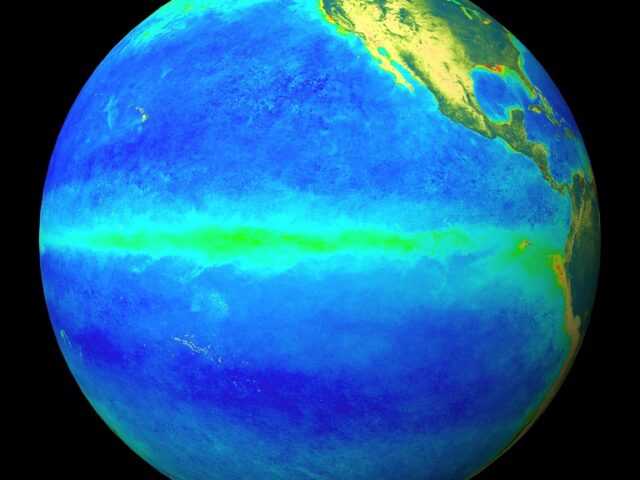
MELBOURNE, Australia – The El Niño–Southern Oscillation (ENSO) is neutral, with both sea surface temperatures (SSTs) in the central equatorial Pacific Ocean and atmospheric patterns at ENSO-neutral levels, reports the Bureau of Meteorology of the Australian Government in its latest update. While some atmospheric indicators such as pressure, cloud and trade wind patterns over the Pacific have been more La Niña-like over the past few weeks, there has yet to be a consistent/sustained signal.
The Bureau’s model suggests SSTs are likely to remain within the ENSO-neutral range (−0.8 °C to +0.8 °C) throughout the forecast period to February 2025.
Of the 6 other climate models surveyed, 3 suggest SSTs in the tropical Pacific are likely to exceed the La Niña threshold (below −0.8 °C) from October, and another 3 models forecast SSTs to fall just short of the threshold from November. Should a La Niña develop in the coming months, it is forecast to be relatively weak (in terms of the strength of the SST anomaly) and short-lived, with all models indicating a return to neutral by February.
The Indian Ocean Dipole (IOD) is currently neutral, with the weekly IOD index of −0.39 °C (as of 29 September). Most models indicate that the IOD is likely to remain neutral, but weakly negative, for the rest of the year. An IOD event is unlikely.
Global SSTs remain at near-record levels, with temperatures since July falling just short of the record temperatures observed during 2023, yet well above all other years since observations began in 1854. The sustained nature of this significant global ocean heat suggests that climate patterns such as ENSO and IOD may not necessarily behave or evolve as they have in the past.
The Southern Annular Mode (SAM) is negative (as at 28 September). The SAM index is forecast to return to neutral levels during the coming week. A negative SAM typically decreases rainfall in eastern Australia during spring.
The Madden–Julian Oscillation (MJO) is currently located in the Western Hemisphere (as at 29 September). Most models suggest the MJO will move eastwards towards the Indian Ocean and weaken in the coming days and may reemerge in the Maritime Continent in mid-October.
ENSO, the IOD, the MJO and the SAM are broad indicators of the expected climate, and are just some of many factors in a complex system. The long-range forecast provides better guidance on local rainfall and temperature patterns.


