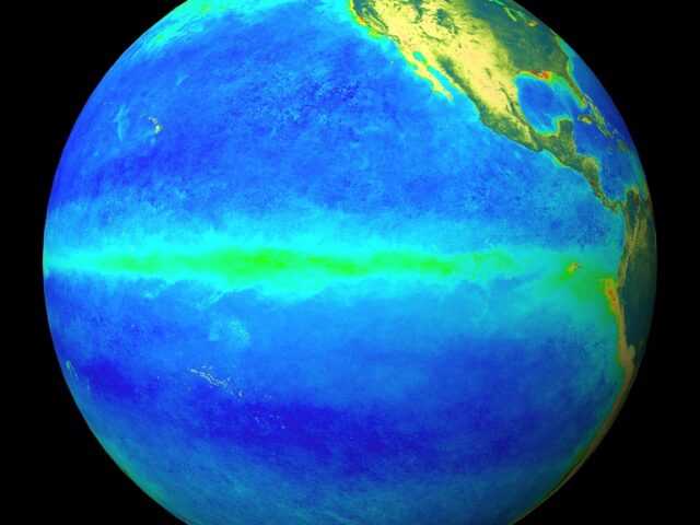
MELBOURNE, Sutralia – The El Niño–Southern Oscillation (ENSO) is currently neutral (neither La Niña nor El Niño). Oceanic and atmospheric indicators for the tropical Pacific Ocean are at neutral ENSO levels, informs the latest update from the Bureau of Meteorology of the Australian Government.
However, there are signs El Niño may form during the Austral winter. Therefore, the ENSO Outlook is at El Niño WATCH. This means there is approximately a 50% chance of El Niño in 2023.
International climate models suggest neutral ENSO conditions are most likely to persist through autumn. From July, all but one of the models indicate El Niño thresholds will be met or exceeded, with all models meeting El Niño thresholds by August.
Current ENSO outlooks extending beyond autumn should be viewed with some caution as they typically have lower forecast accuracy than forecasts made during other times of the year. When ENSO is neutral, the Pacific Ocean typically exerts little influence on Australian climate patterns. El Niño typically suppresses rainfall in eastern Australia during the winter and spring months.
The Indian Ocean Dipole (IOD) is neutral. All models suggest that a positive IOD event may develop in the coming months.
A positive IOD can supress winter and spring rainfall over much of Australia, potentially exacerbating the drying effect of El Niño. Long-range forecasts of IOD made in autumn have lower accuracy than those made at other times of the year.
The Madden-Julian Oscillation (MJO) is expected to weaken in the coming days before possibly strengthening over the Maritime Continent in early May. By May, the MJO has little to no significant influence on the rainfall patterns across northern Australia.
The Southern Annular Mode (SAM) index is currently neutral and is expected to remain mostly neutral over the coming 3 weeks. A neutral SAM has little influence on the Australian climate.
Climate change continues to influence Australian and global climates. Australia’s climate has warmed by around 1.47 °C over the period 1910–2021.
There has also been a trend towards a greater proportion of rainfall from high intensity short duration rainfall events, especially across northern Australia. Southern Australia has seen a reduction of 10 to 20% in cool season (April–October) rainfall in recent decades.


