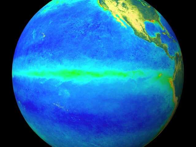
MELBOURNE, Australia — Indicators have been close to El Niño thresholds over the past several months, but signs have emerged of a weakening of these patterns, reports the Australian Government Bureau of Meteorology (BOM). As a result, the Bureau’s ENSO Outlook has been downgraded to El Niño WATCH. This means the chance of El Niño developing in 2019 is approximately 50%, which is still double the normal likelihood.
While sea surface temperatures in the tropical Pacific Ocean remain close to El Niño levels, water beneath the surface has slowly cooled over the past few months. Atmospheric indicators such as the Southern Oscillation Index (SOI) and cloudiness near the Date Line have generally remained in the neutral range, despite short-term El Niño-like SOI values in the last fortnight.
International models surveyed by the Bureau indicate that sea surface temperatures in the tropical Pacific are likely to remain near El Niño thresholds until mid-winter, before cooling in late winter to spring. By August, two of the eight models are clearly at El Niño levels, with another two near El Niño thresholds.
El Niño typically brings drier than average conditions for eastern Australia during winter–spring, and warmer days across the southern two-thirds of the country.
The Indian Ocean Dipole (IOD) is currently neutral. However, models show a tendency towards positive IOD values during the forecast period, with five of six models suggesting a positive IOD event is likely to develop in winter, and persist into mid-spring.


