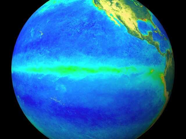
COLLEGE PARK, MD, U.S. – Over the last month, equatorial sea surface temperatures (SSTs) were near-to-below average across the central and eastern Pacific Ocean. ENSO-neutral conditions were apparent in the weekly fluctuation of Niño-3.4 SST index values between -0.1°C and -0.6°C.
While temperature anomalies were variable at the surface, they became increasingly negative in the sub-surface ocean, due to the shoaling of the thermocline across the east-central and eastern Pacific.
Though remaining mostly north of the equator, convection was suppressed over the western and central Pacific Ocean and slightly enhanced near Indonesia.
The low-level trade winds were stronger than average over a small region of the far western tropical Pacific Ocean, and upper-level winds were anomalously easterly over a small area of the east-central Pacific. Overall, the ocean and atmosphere system remains consistent with ENSO-neutral.
A majority of the models in the IRI/CPC suite of Niño-3.4 predictions favor ENSO-neutral through the Northern Hemisphere 2017-18 winter.
However, the most recent predictions from the NCEP Climate Forecast System (CFSv2) and the North American Multi-Model Ensemble (NMME) indicate the formation of La Niña as soon as the Northern Hemisphere fall 2017.
Forecasters favor these predictions in part because of the recent cooling of surface and sub-surface temperature anomalies, and also because of the higher degree of forecast skill at this time of year.
In summary, there is an increasing chance (~55-60%) of La Niña during the Northern Hemisphere fall and winter 2017-18.


