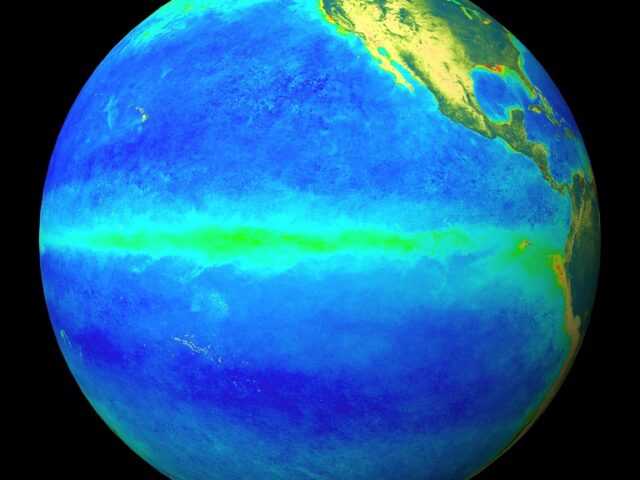
La Niña strengthened during the past month, as indicated by an increasingly prominent pattern of below-average sea surface temperatures (SSTs) across the central and eastern equatorial Pacific Ocean, reports NOAA’s Climate Prediction Center.
The latest weekly Niño-3.4 index value was -0.8°C, with the easternmost Niño-3 and Niño-1+2 indices at or below -1.0°C during much of the month.
Sub-surface temperature anomalies weakened slightly during November, but remained significantly negative due to the anomalously shallow depth of the thermocline across the central and eastern Pacific.
The atmospheric circulation over the tropical Pacific Ocean also reflected La Niña, with convection suppressed near the International Date Line and enhanced over Indonesia.
The low-level trade winds were stronger than average over the western and central Pacific, with anomalous westerly winds at upper-levels. Overall, the ocean and atmosphere system reflects La Niña.
La Niña is predicted to persist through the Northern Hemisphere winter 2017-18 by nearly all models in the IRI/CPC plume and in the North American Multi-Model Ensemble (NMME). Based on the latest observations and forecast guidance, forecasters favor the peak of a weak-to-moderate La Niña during the winter (3-month Niño-3.4 values between -0.5°C and -1.5°C).
In summary, La Niña is likely (exceeding ~80%) through the Northern Hemisphere winter 2017-18, with a transition to ENSO-neutral most likely during the mid-to-late spring.
La Niña is anticipated to affect temperature and precipitation across the United States during the upcoming months (the 3-month seasonal temperature and precipitation outlooks will be updated on Thursday December 21st).
The outlooks generally favor above-average temperatures and below-median precipitation across the southern tier of the United States, and below-average temperatures and above-median precipitation across the northern tier of the United States.


