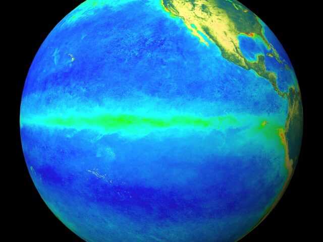
MELBOURNE, Australia – La Niña continues in the tropical Pacific. Climate models suggest the 2021–22 La Niña is near or at its peak, with a return to neutral El Niño–Southern Oscillation (ENSO) likely early in the southern hemisphere autumn, reports BOM. Autumn is the typical time of the year in which ENSO events decay and return to neutral. La Niña increases the chance of above average rainfall across much of northern and eastern Australia during summer.
Cooler than usual sea surface temperatures in the central and eastern tropical Pacific persist, with warmer than average waters to Australia’s north. Cooler sub-surface water remains in the eastern tropical Pacific, supporting the cooler waters at the surface.
However, these cooler sub-surface waters are starting to warm. In the atmosphere, patterns remain broadly typical of La Niña, with decreased cloudiness near the Date Line, and trade winds close to average or slightly increased.
The Southern Oscillation Index (SOI) has reduced in magnitude over the past fortnight; however, this is likely related to transient tropical weather and not a broader climate signal.
The Madden–Julian Oscillation (MJO) has weakened after being in the central to eastern Pacific over the past fortnight. Some models predict a re-strengthening over the western Pacific in the coming days, which would typically lead to an increase in cloudiness and rainfall over the eastern Maritime Continent including northern Australia and the south-west Pacific.
The Southern Annular Mode (SAM) index has briefly dipped to negative levels. It is forecast to approach positive levels during the remainder of January and into the first week of February. A positive SAM during summer typically brings wetter weather to eastern parts of Australia, but drier than average conditions for western Tasmania.
The Indian Ocean Dipole (IOD) remains neutral. The IOD typically has little influence on global climate from December to April.
Climate change continues to influence Australian and global climate. Australia’s climate has warmed by around 1.44 °C for the 1910–2019 period. Rainfall across northern Australia during its wet season (October–April) has increased since the late 1990s. In recent decades there has been a trend towards a greater proportion of rainfall from high intensity short duration rainfall events, especially across northern Australia.


