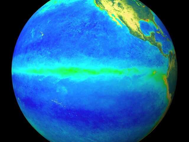
MELBOURNE, Australia – Key atmospheric and oceanic indicators of the El Niño–Southern Oscillation (ENSO) show an established La Niña, says the Bureau of Meteorology of the Australian Government in its latest update.
Tropical Pacific sea surface temperatures have been cooling since June and are now at La Niña thresholds. Atmospheric indicators including the Southern Oscillation Index (SOI), trade wind strength, and equatorial cloudiness are also displaying patterns typical of a La Niña event.
Models indicate this La Niña event may peak during the spring and return to neutral conditions early in 2023. La Niña events increase the chances of above-average rainfall for northern and eastern Australia during spring and summer.
The negative Indian Ocean Dipole (IOD) event continues. The IOD index has satisfied negative IOD thresholds (i.e. at or below −0.4 °C) since June, with the latest weekly value being −0.8 °C. All surveyed climate models agree that negative IOD conditions are likely to continue into late spring.
A negative IOD event is typically associated with above average spring rainfall for much of Australia. When a La Niña and negative IOD combine, it further increases the likelihood of above average rainfall over Australia, particularly in the eastern half of the continent.
The Southern Annular Mode (SAM) is currently in a positive phase and is likely to be mostly positive for the coming three months. During the spring months, a positive SAM has a wetting influence for parts of eastern New South Wales and far eastern Victoria, but a drying influence for western Tasmania.
The Madden–Julian Oscillation (MJO) continues to show a weak signal with most models suggesting it will remain weak for at least the next seven days. A weak MJO is unlikely to have much impact on Australian climate.
Climate change continues to influence Australian and global climate. Australia’s climate has warmed by around 1.47 °C for the 1910–2020 period. Southern Australia has seen a reduction of 10–20% in cool season (April–October) rainfall in recent decades. There has also been a trend towards a greater proportion of rainfall from high intensity short duration rainfall events, especially across northern Australia.


