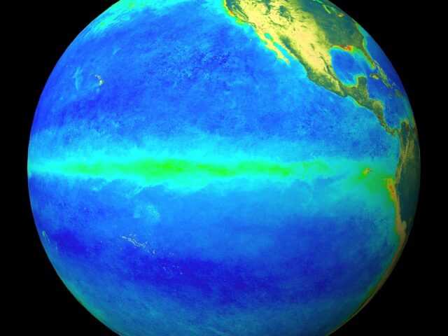
The El Niño – Southern Oscillation (ENSO) is currently neutral, reports the Bureau of Meteorology of the Australian Government (BOM) in its latest wrap-up.
While the tropical Pacific Ocean has cooled in the past month, most international climate models forecast warming to resume in the coming weeks, with El Niño development possible in the southern spring.
Therefore, the Bureau’s ENSO Outlook remains at El Niño WATCH. This means there is approximately a 50% chance of El Niño forming in 2018; double the normal chance.
While the surface of the central to eastern tropical Pacific has cooled over the past month, the water below the surface of the western Pacific is warming again.
SOI remains neutral
Although atmospheric indicators such as the Southern Oscillation Index (SOI) remain neutral, tropical cyclones to the north of the equator are acting to increase the warmth in the Pacific by suppressing trade winds.
Most international climate models surveyed by the Bureau predict warming of the tropical Pacific is likely to recommence in the coming weeks.
Most models suggest El Niño thresholds are likely to be reached by the end of the year, with the majority suggesting these thresholds could be met by mid to late spring.
El Niño during spring typically means below average rainfall in eastern and northern Australia while daytime temperatures are typically above average over southern Australia.
The Indian Ocean Dipole (IOD) is neutral. However, the ocean to the northwest of Australia remains cooler than normal, which is contributing to suppressed rainfall over southern and southeast Australia.
Three of six international climate models suggest a short-lived positive IOD event may develop. A positive IOD during spring typically reduces rainfall in central and southern Australia, and can exacerbate any El Niño driven rainfall deficiencies.


