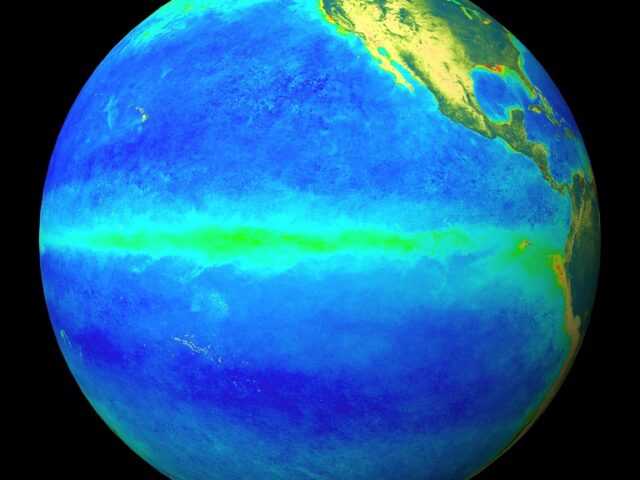
MELBOURNE, Australia – ENSO Outlook remains at El Niño ALERT, said the Australian Government Bureau of Meteorology (BOM) in its latest report. This means the chance of El Niño developing in the coming months is approximately 70%; around triple the normal likelihood.
Although sea surface temperatures in the tropical Pacific Ocean are still close to El Niño thresholds, the atmosphere is yet to show a consistent El Niño-like response. The Southern Oscillation Index, which typically drops when an El Niño pressure pattern develops across the equatorial Pacific, remains neutral and trade winds are currently close to normal strength near the equator.
While climate models forecast El Niño-like ocean temperatures during May, most models indicate a cooling through winter, with only three of eight models still forecasting El Niño-like warmth in spring. This indicates that if El Niño does develop it is likely to be short lived and weak.
El Niño typically brings drier than average conditions for eastern Australia during winter–spring, and warmer days across southern Australia. During the autumn months, the influence of El Niño tends to be weaker, but can bring drier conditions to the south of the country.
In the Indian Ocean, most climate models indicate the Indian Ocean Dipole (IOD) is likely to be neutral for the remainder of the austral autumn, with the possibility of a positive IOD in winter or spring. A positive IOD typically means drier than average conditions for southern and central Australia during winter-spring.


