A persistent and strong negative phase of the Indian Ocean Dipole (IOD), combined with a La Niña-like pattern of warm seas around northern Australia, continue to be the major drivers of Australian climate.
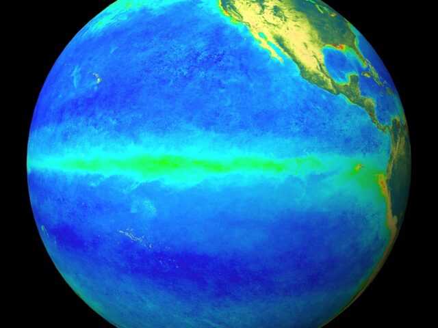
Temperatures in the central tropical Pacific Ocean continue to be below average, but remain El Niño–Southern Oscillation (ENSO) neutral.
Most international climate models surveyed indicate the Pacific is likely to remain at ENSO neutral levels through to the end of 2016, though one international model suggests a La Niña late in the year is possible.
Some indications of atmospheric coupling have emerged in recent weeks. August was the first month to show persistent below average cloud around the Date Line (typical of La Niña), and this pattern has continued during September.
Likewise, the Southern Oscillation Index has exceeded La Niña thresholds for the past two weeks. Hence the ENSO Outlook remains at La Niña WATCH.
Warmer than normal sea surface temperatures to Australia’s north and east, and the broader southwest Pacific Ocean, strengthened over the past fortnight and may be contributing to some La Niña-like impacts.
Likewise, a very strong negative IOD persists in the Indian Ocean and is also increasing the likelihood of wet conditions over Australia.
Models indicate the IOD will return to neutral levels by the end of spring. Spring in eastern Australia is typically wetter than average during a negative IOD (and La Niña)


