MELBOURNE, Australia – The Indian Ocean Dipole (IOD) index has been very close to or exceeded negative IOD thresholds (i.e. at or below −0.4 °C) over the past six weeks, reports the Bureau of Meteorology of the Australian Government (BOM). If, as forecast, negative IOD thresholds are exceeded for the next fortnight, 2022 will be considered a negative IOD year.
All climate model outlooks surveyed indicate negative IOD conditions are likely for the remainder of winter and spring. A negative phase of the IOD is associated with above average winter–spring rainfall for much of Australia.
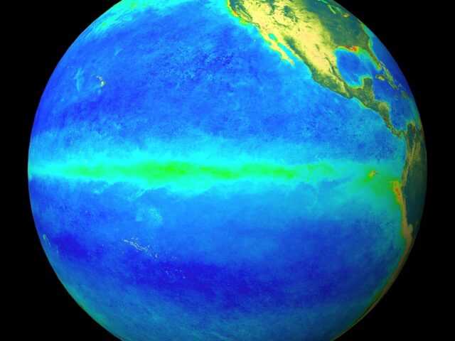
The Bureau’s ENSO Outlook is at La Niña WATCH, meaning there is about a 50% chance (double the normal likelihood) of La Niña forming later in 2022. La Niña events increase the chance of above average winter–spring rainfall across much of northern and eastern Australia.
El Niño–Southern Oscillation (ENSO) ocean indicators are at neutral levels. However, some atmospheric indicators, such as the Southern Oscillation Index, show a residual La Niña-like signal. Trade winds have recently re-strengthened in the central to western Pacific, partially in response to Madden–Julian Oscillation activity.
Most climate models surveyed by the Bureau indicate ENSO is likely to remain neutral through the southern hemisphere winter. But four of the seven models surveyed by the Bureau suggest La Niña could return in spring, with three models persisting at neutral ENSO levels.
The Madden–Julian Oscillation (MJO) is currently weak. Some models suggest the MJO may strengthen in the African region in the coming days, which can bring above average rainfall to northeast Queensland.
The Southern Annular Mode (SAM) index is currently positive, with neutral to positive values forecast for the following three weeks. Positive SAM has a drying influence for parts of south-west and south-east Australia, while neutral SAM has little influence on Australian rainfall.
Climate change continues to influence Australian and global climate. Australia’s climate has warmed by around 1.47 °C for the 1910–2020 period. Southern Australia has seen a reduction of 10–20% in cool season (April–October) rainfall in recent decades. There has also been a trend towards a greater proportion of rainfall from high intensity short duration rainfall events, especially across northern Australia.


