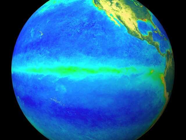
MELBOURNE, Australia – Sea surface temperatures (SSTs) in the central equatorial Pacific Ocean are ENSO-neutral, following a steady cooling from El Niño levels since December 2023, reports the Bureau of Meteorology of the Australian Government in its latest update.
This cooling is being sustained by deep waters surfacing in the central and eastern Pacific. However, the rate and extent of cooling both at and below the surface has decreased since May. Atmospheric patterns, including cloud and trade winds, are currently ENSO-neutral.
ENSO is likely to remain neutral until at least early austral spring. Three of 7 climate models suggest the possibility of SSTs reaching the La Niña threshold (below −0.8 °C) by October. The remaining 4 models suggest a continuation of ENSO-neutral throughout the forecast period.
The ENSO Outlook remains at La Niña Watch. La Niña Watch does not guarantee La Niña development, only that there is about an equal chance of ENSO remaining neutral or La Niña developing during the remainder of 2024.
The Indian Ocean Dipole (IOD) is currently neutral. The latest model outlooks indicate that the IOD is likely to remain neutral until at least the end of winter. Three of 5 climate models suggest that during spring, negative IOD development is likely, while 2 forecast a neutral or positive state of the IOD.
Global SSTs have been the warmest on record for each month between April 2023 and June 2024. July 2024 global SSTs were the second-warmest July on record. The current global pattern of warmth differs to historical patterns of SSTs associated with ENSO and IOD. This means future predictions of ENSO and IOD based on SSTs during past events may not be reliable. Phenomena such as ENSO and the IOD are only broad indicators of the expected climate. The long-range forecast provides better guidance on local rainfall and temperature patterns.
The Southern Annular Mode (SAM) is strongly negative (as at 3 August). The index is forecast to remain negative for at least the coming fortnight, beyond which predictability is typically low. During winter, a negative SAM typically increases the likelihood of rain-bearing fronts across southern Australia and decreases rainfall influenced by onshore flow in parts of the east.
The Madden–Julian Oscillation (MJO) is currently indiscernible (as at 3 August). The majority of models suggest a weak pulse of the MJO may briefly emerge in the Western Hemisphere and Africa in early August, with the remainder forecasting a weak or indiscernible signal to continue. A weak MJO has little impact on Australian rainfall.


