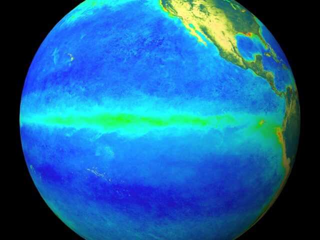
MELBOURNE, Australia – A strong El Niño persists, but ocean temperatures in the tropical Pacific are showing a gradual cooling signal. Climate models suggest El Niño will decay over the coming months, with a likely return to neutral conditions in the second quarter of 2016, says the Bureau of Meteorology of the Australian Government in its weekly wrap-up.
The eastern tropical Pacific sub-surface has cooled by up to 3 degrees since late November.
Weekly sea surface temperatures likewise show a cooling trend, evident since late November.
However, recent tropical cyclone activity in the central tropical Pacific has produced strong westerly winds along the equator which may temporarily slow the decline of El Niño.
Such short-term re-intensification of El Niño has happened before. For example, 1997–98 saw a re-strengthening of El Niño conditions in early 1998, before the event eventually decayed.
Based on the 26 El Niño events since 1900, around 50% have been followed by a neutral year, and 40% have been followed by La Niña. Models also suggest neutral and La Niña states are about equally likely for the second half of 2016, with a repeat El Niño the least likely outcome.
Historically, the breakdown of strong El Niño events brings above average rainfall to parts of Australia in the first half of the year.
The Indian Ocean Dipole has little influence on Australian climate between December and April. However, Indian Ocean sea surface temperatures remain at record warm levels across the majority of the basin. This basin-wide warmth may provide extra moisture for rain systems across Australia.


